Toril GIS Sample: Early Small-scale Prototype
A small experimental dataset from the Toril GIS project is now available.
This release, called Toril GIS Sample, contains several coarse base layers. It also features an early version of the digital elevation model for Toril, a unique dataset built specifically for this fictional world.
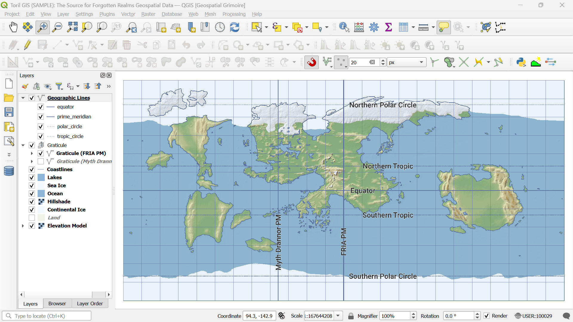
It is a minimal, non-final package meant to illustrate how geospatial tools like QGIS can be applied to a fictional world. The project includes preconfigured QGIS files, basic vector and raster data in Toril GCS coordinate system, and a few global projections for reference.
It’s not much yet — just a technical preview from the early stages of development — but it provides a tangible starting point for those curious about the approach behind Toril GIS.
Repository: 👉 Toril GIS Sample on GitHub
P.S. Work on the main Toril GIS project is actively continuing. Core layers for both the planet’s surface and the Underdark are already in place, and much more detailed (and frankly, quite exciting) material is taking shape behind the scenes.